Walking the Pieterpad.
A Cell Phone Travelogue 2011-.....
Willem de Vlaming ©2011-2013
The Pieterpad (Peter path) is a long distance walk in the Netherlands (485 kilometres).
The trail runs from Pieterburen, in the northern part of Groningen, to end just south of Maastricht in the south east, on the top of Mount Saint Peter (St Pietersberg), 109 metres high.My girlfriend and I will start the Pieterpad this year 2011 in one of our holiday's
In this journal I'll keep a photojournal of the several stages of our travels along this Pieterpad. For this journal I'll use cellphone images only... The main reason is that I don't want to carry my DSLR and lenses on a longer hiking trip. But I also see it as a nice photo challenge to squeeze out as much as possible from my cell phone... Inspired by National Geographic Photographer Robert Clark who published a cellphone travelogue "Image America" in 2005. Before stage 12 however that 5Mp cellphone crashed. The replacement was very low fi, so from stage 12 on I use a basic point and shoot Nikon S2600.
Stages
1 Pieterburen - Winsum 11km = February 23, 2011
2 Winsum - Groningen 19km = February 23, 2011
3 Groningen - Zuidlaren 21km = May 1, 2011
4 Zuidlaren - Rolde 18km = Mai 2, 2011
5 Rolde - Schoonloo 18km = Mai 3, 2011
6a Schoonloo - Sleen 24km = Mai 4, 2011 Schoonloo - Schoonoord (ca 12 km)
6b Schoonloo - Sleen 24km = October 18, 2011 Schoonoord - Sleen ca 12 km
7 Sleen - Coevorden = October 19, 201121km
8 Coevorden - Hardenberg = October 20, 2011 9km
9 Hardenberg - Ommen = feb 28 2012 - 21km
10 Ommen - Hellendoorn = feb 29 2012 - 21km
11 Hellendoorn - Holten = mrt 01 2012 - 16km
12 Holten - Laren = oct 23 2012 - 15km
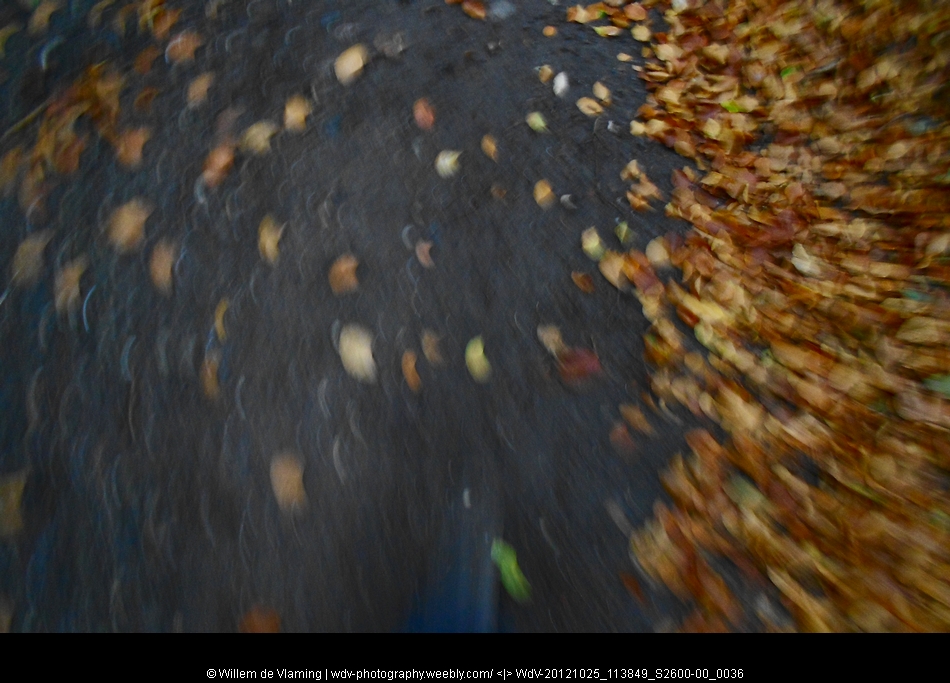
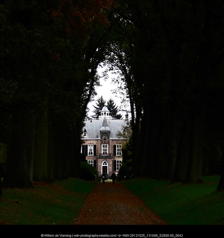
13 Laren - Vorden = oct 25 2012 - 14km
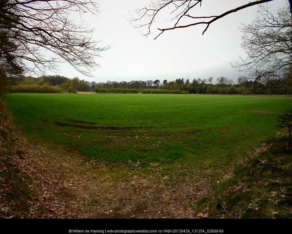
14 Vorden - Zelhem = april 29 2013 - 16km
15 Zelhem - Braamt = april 30 2013 - 18km
16 a Braamt - 't Peeske = may 1 2013 - 6 km 16 b Braamt - Millingen a/d Rijn 24km
17 Millingen - Groesbeek 20km
18 Groesbeek - Gennep 15km
19 Gennep - Vierlingsbeek 17km
20 Vierlingsbeek - Swolgen 21km
21 Swolgen - Venlo 21km
22 Venlo - Swalmen 23km
23 Swalmen - Montfort 22km
24 Montfort - Sittard 24km
25 Sittard -Strabeek (Vlknbrg) 22km
26 Strabeek - St Pietersberg 15km
Willem de Vlaming ©2011-2013
The Pieterpad (Peter path) is a long distance walk in the Netherlands (485 kilometres).
The trail runs from Pieterburen, in the northern part of Groningen, to end just south of Maastricht in the south east, on the top of Mount Saint Peter (St Pietersberg), 109 metres high.My girlfriend and I will start the Pieterpad this year 2011 in one of our holiday's
In this journal I'll keep a photojournal of the several stages of our travels along this Pieterpad. For this journal I'll use cellphone images only... The main reason is that I don't want to carry my DSLR and lenses on a longer hiking trip. But I also see it as a nice photo challenge to squeeze out as much as possible from my cell phone... Inspired by National Geographic Photographer Robert Clark who published a cellphone travelogue "Image America" in 2005. Before stage 12 however that 5Mp cellphone crashed. The replacement was very low fi, so from stage 12 on I use a basic point and shoot Nikon S2600.
Stages
1 Pieterburen - Winsum 11km = February 23, 2011
2 Winsum - Groningen 19km = February 23, 2011
3 Groningen - Zuidlaren 21km = May 1, 2011
4 Zuidlaren - Rolde 18km = Mai 2, 2011
5 Rolde - Schoonloo 18km = Mai 3, 2011
6a Schoonloo - Sleen 24km = Mai 4, 2011 Schoonloo - Schoonoord (ca 12 km)
6b Schoonloo - Sleen 24km = October 18, 2011 Schoonoord - Sleen ca 12 km
7 Sleen - Coevorden = October 19, 201121km
8 Coevorden - Hardenberg = October 20, 2011 9km
9 Hardenberg - Ommen = feb 28 2012 - 21km
10 Ommen - Hellendoorn = feb 29 2012 - 21km
11 Hellendoorn - Holten = mrt 01 2012 - 16km
12 Holten - Laren = oct 23 2012 - 15km
13 Laren - Vorden = oct 25 2012 - 14km
14 Vorden - Zelhem = april 29 2013 - 16km
15 Zelhem - Braamt = april 30 2013 - 18km
16 a Braamt - 't Peeske = may 1 2013 - 6 km 16 b Braamt - Millingen a/d Rijn 24km
17 Millingen - Groesbeek 20km
18 Groesbeek - Gennep 15km
19 Gennep - Vierlingsbeek 17km
20 Vierlingsbeek - Swolgen 21km
21 Swolgen - Venlo 21km
22 Venlo - Swalmen 23km
23 Swalmen - Montfort 22km
24 Montfort - Sittard 24km
25 Sittard -Strabeek (Vlknbrg) 22km
26 Strabeek - St Pietersberg 15km
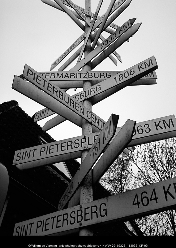
1 Pieterburen - Winsum 11km = February 23, 2011Pieterburen - starting post
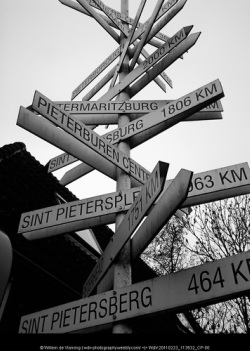
There is a Peter near you!
At the start of the trail there is this post pointing at various "Peterplaces" around the world. Our ambition is rather modest some 490 km heading south to the St. Pietersberg in the south of the Netherlands.
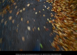
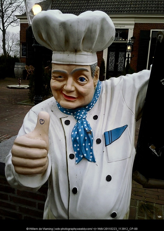
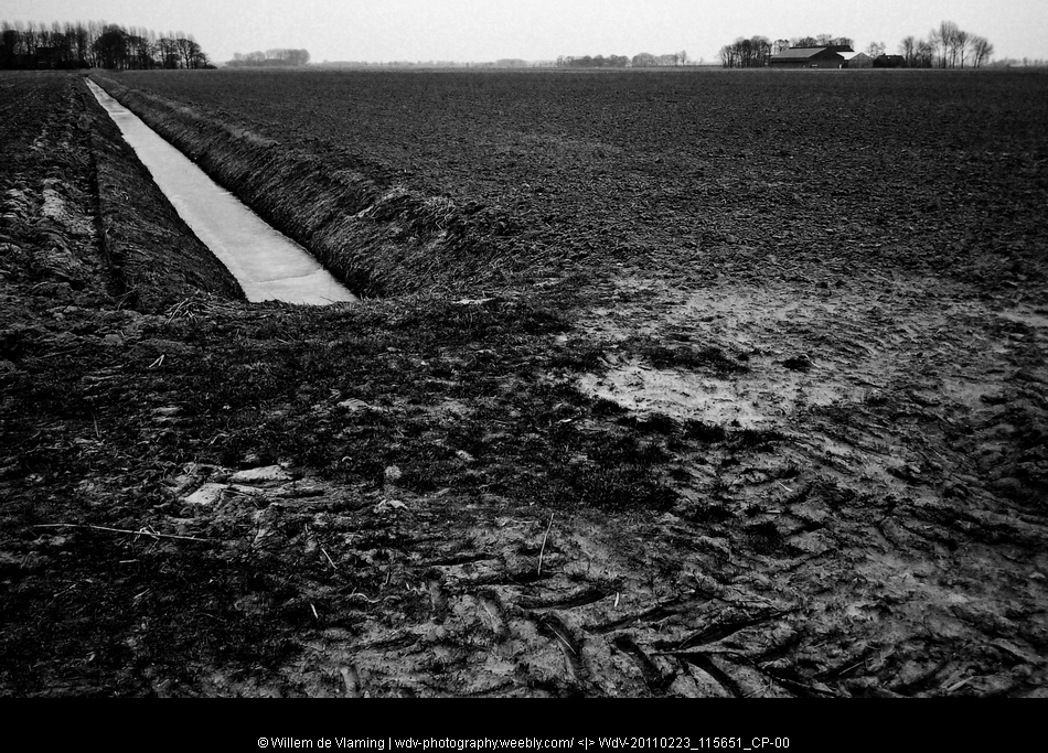
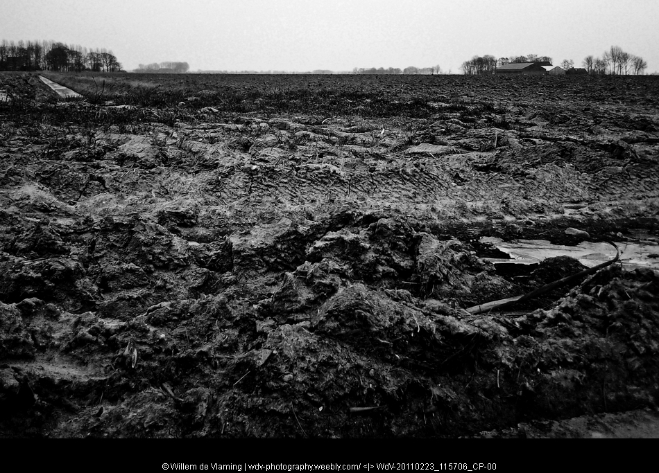
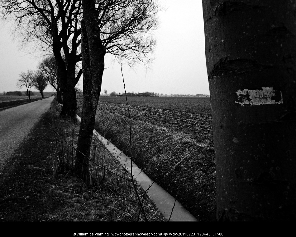
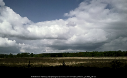
February was clearly outside the walking season. Not many people about and a couple of cafés at the starting point with the sign 'closed' behind the front door window. The one behind the happy cook was open for business and after a cup of coffee and some lunch we were ready to 'hit the road'.Rather cold and windy and under a slight drizzle we entered the countryside of our 'far north' in the province of Groningen. A province build on heavy clay, which lay in big chunck on the fields turned over by the plough. A slight mist hanging over the countryside. The country seemed to be waiting for the early signs of spring, but winter was still hanging on.
The Clay is the visible foundation of the regions wealth, potato country. The greatest asset however is hidden, deep under the surface. Big gas fields.
At the start of the trail there is this post pointing at various "Peterplaces" around the world. Our ambition is rather modest some 490 km heading south to the St. Pietersberg in the south of the Netherlands.
February was clearly outside the walking season. Not many people about and a couple of cafés at the starting point with the sign 'closed' behind the front door window. The one behind the happy cook was open for business and after a cup of coffee and some lunch we were ready to 'hit the road'.Rather cold and windy and under a slight drizzle we entered the countryside of our 'far north' in the province of Groningen. A province build on heavy clay, which lay in big chunck on the fields turned over by the plough. A slight mist hanging over the countryside. The country seemed to be waiting for the early signs of spring, but winter was still hanging on.
The Clay is the visible foundation of the regions wealth, potato country. The greatest asset however is hidden, deep under the surface. Big gas fields.


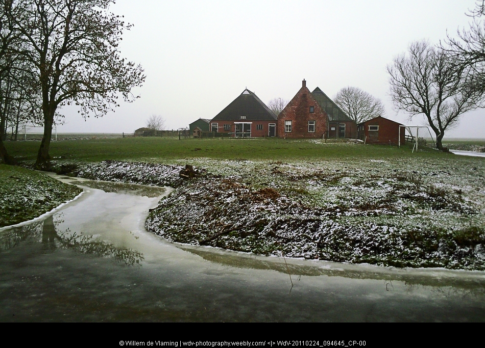
2 Winsum - Groningen 19km = February 24, 2011Snowy Morning

Starting the Pieterpad in February 2011, with winter holding the country in a tight grip. Overnight a thin layer of fresh snow had fallen and covered the land. The frost in the ground made walking on irregular unpaved paths hard. But the coutryside was beautiful on the country with a thin layer of fresh snow. The frozen irregular grassland was hard to walk on. But the countryside was beautiful in this winter weather.
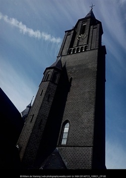
The walk took us over the bridge over the Reitdiep at Wetsingersluis and along the chunky church at Oostum. The church is build on a wierd (artificial dwelling hill) as protection against high water. Before dikes (levees) were made houses and churches were build on these artificial dwelling hills. After following the Reitdiep near Wierumerschouw we ended this part of the Pieterpad in Groningen
The walk took us over the bridge over the Reitdiep at Wetsingersluis and along the chunky church at Oostum. The church is build on a wierd (artificial dwelling hill) as protection against high water. Before dikes (levees) were made houses and churches were build on these artificial dwelling hills. After following the Reitdiep near Wierumerschouw we ended this part of the Pieterpad in Groningen

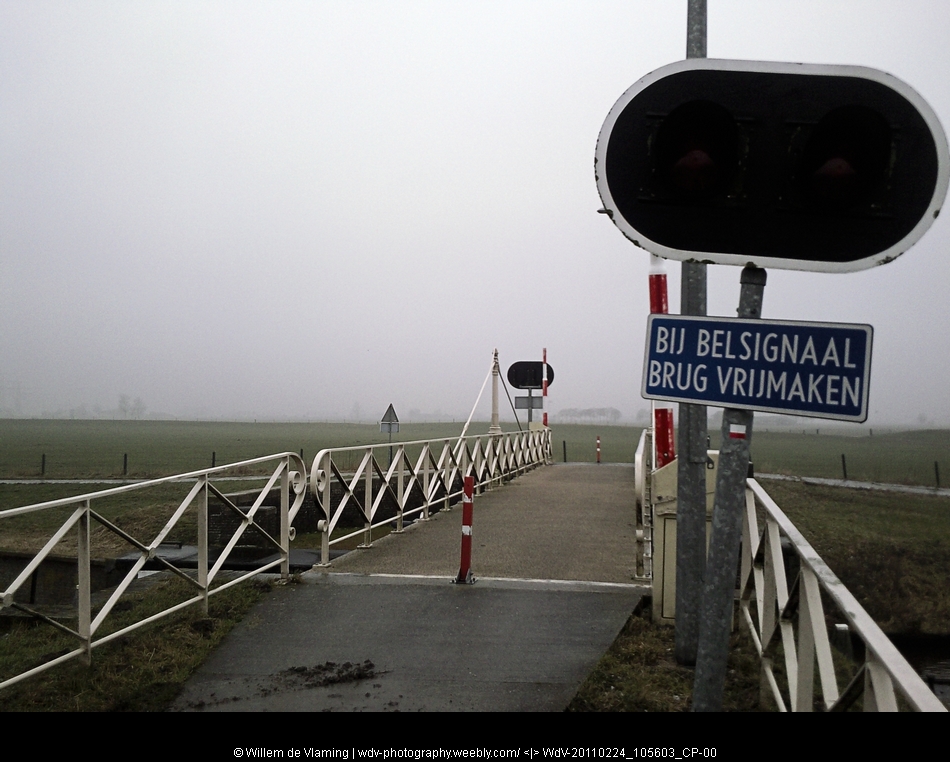
3 Groningen - Zuidlaren 21km = May 1, 2011
For our short holiday in may we had booked a small home in Anderen (Drenthe) to pick up our walk we had to go to Groningen by bus.
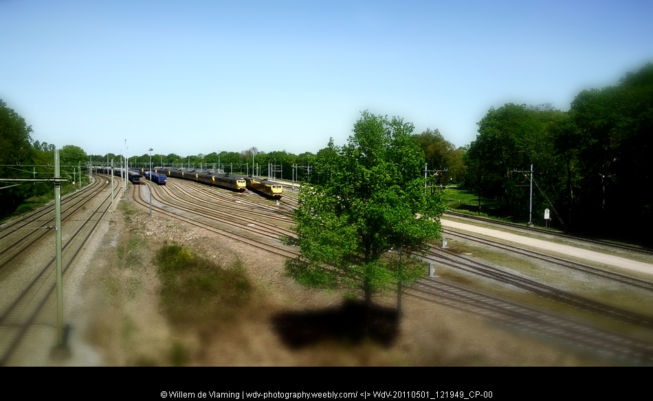
The start of this stage was at Groningen Central station from where we turned south first walking through the city along the water of the Noord-Willemskanaal. Step by step leaving the town and urban structures behind us.
It was a lovely day for walking, some 16 degrees centigrade and a clear blue sky
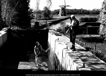
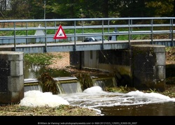
Outside the city we crossed a narrow stream with a lock
It was great to be back on the road again..
.
The start of this stage was at Groningen Central station from where we turned south first walking through the city along the water of the Noord-Willemskanaal. Step by step leaving the town and urban structures behind us.
It was a lovely day for walking, some 16 degrees centigrade and a clear blue sky
Outside the city we crossed a narrow stream with a lock
It was great to be back on the road again..
.


4 Zuidlaren - Rolde 18km = Mai 2, 2011
We took a taxi to take us to the starting point at Zuid Laren, near the old horse market.
Leaving the town we entered a lovely open landscape with small patches of woodland, meadows and a tiny river, the 'Schipborgsche Diep', which we had to cross
This was Monday, the day the restaurant at Gasteren was closed, so we dived into our Backpacks for some crackers and canned tuna :-)
April 30 was a national Holiday, not sure if that made driving straight more difficult.. :-)
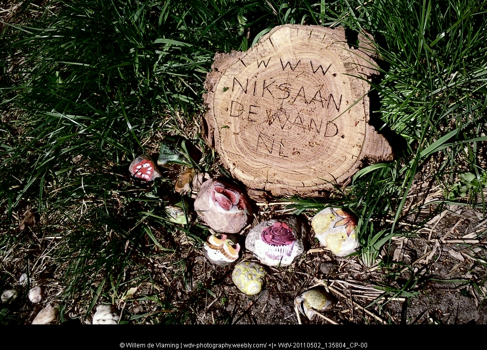
www.niksaandewand.nl
A nice and sympathetic way to advertise ones art work....
Just a small art installation alongside the trail.
Leaving the town we entered a lovely open landscape with small patches of woodland, meadows and a tiny river, the 'Schipborgsche Diep', which we had to cross
This was Monday, the day the restaurant at Gasteren was closed, so we dived into our Backpacks for some crackers and canned tuna :-)
April 30 was a national Holiday, not sure if that made driving straight more difficult.. :-)
www.niksaandewand.nl
A nice and sympathetic way to advertise ones art work....
Just a small art installation alongside the trail.


5 Rolde - Schoonloo 18km = Mai 3, 2011
A nice hike starting at Rolde.
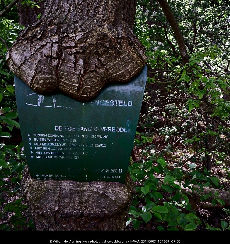
Nature seems to be reclaiming the signs that tell visitors that one is entering a nature reserve.. :-)
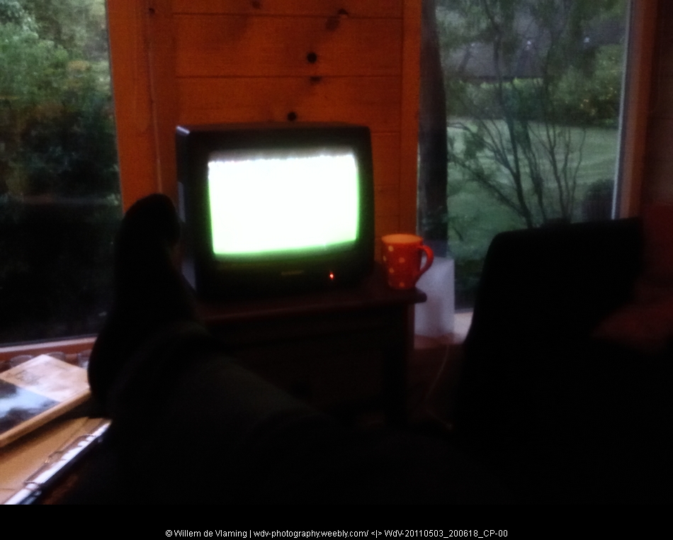
Putting my feet up in our BB watching the football match on the tele.
It was a lovely day for hiking, only downside being that the cafe and restaurant along the road were closed, so we had a nice luch with the food we carried along ourselves.
Nature seems to be reclaiming the signs that tell visitors that one is entering a nature reserve.. :-)
Putting my feet up in our BB watching the football match on the tele.
It was a lovely day for hiking, only downside being that the cafe and restaurant along the road were closed, so we had a nice luch with the food we carried along ourselves.
6a Schoonloo - Sleen 24km Mai 4, 2011 Schoonloo - Schoonoord (ca 12 km)
This being a relative long stage and being on the end of our short holiday, we cut this opne in half ending in Schoonloo instead of Sleen.
Another day with fine weather. Ending near the two seats of the mythical Giants that robbed and killed travelers, that upgraded to become a 'major' tourist attraction for the region
Another day with fine weather. Ending near the two seats of the mythical Giants that robbed and killed travelers, that upgraded to become a 'major' tourist attraction for the region

6b Schoonloo - Sleen 24km October 18, 2011 Schoonoord - Sleen ca 12 km
Picking up the track again in october after a wet summer. The temperature has dropped and the ground is soaked. But we were lucky with a bit of sunshine and only a couple of showers.
94 km behind us and still 396 to go
Base camp was an excellen B&B in Sleen The "Sleense Joffers". If you ever need an B&B in this region its worth checking this one out.
94 km behind us and still 396 to go
Base camp was an excellen B&B in Sleen The "Sleense Joffers". If you ever need an B&B in this region its worth checking this one out.

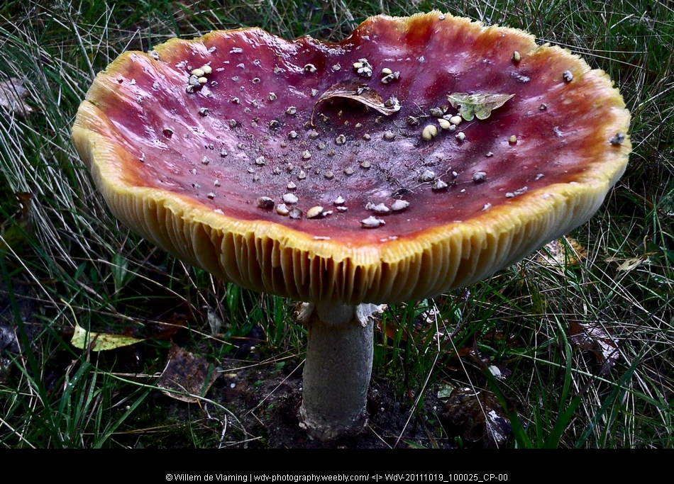
7 Sleen - Coevorden October 19, 2011 21km
Autumn has arrived without any doubt, mushrooms everywhere along the road that takes us toe Coevorden. Right after the start of our walk we had to take shelter against heavy rain in a shed overlooking an electricity mast.
The only heavy rain during that day, but still some drizzle to come.
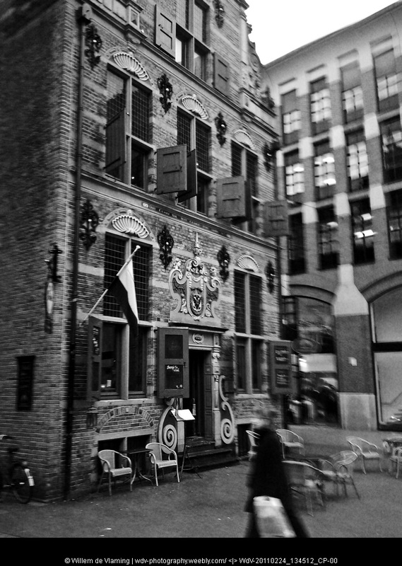
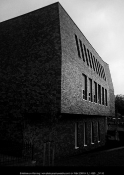
We finished this day in the modern Grand Cafe / City Hall of Coevorden
for a late lunch and tea.
The only heavy rain during that day, but still some drizzle to come.
We finished this day in the modern Grand Cafe / City Hall of Coevorden
for a late lunch and tea.

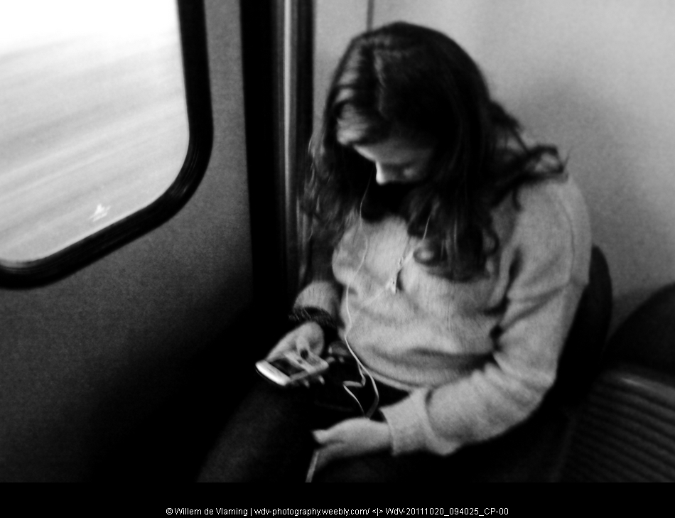
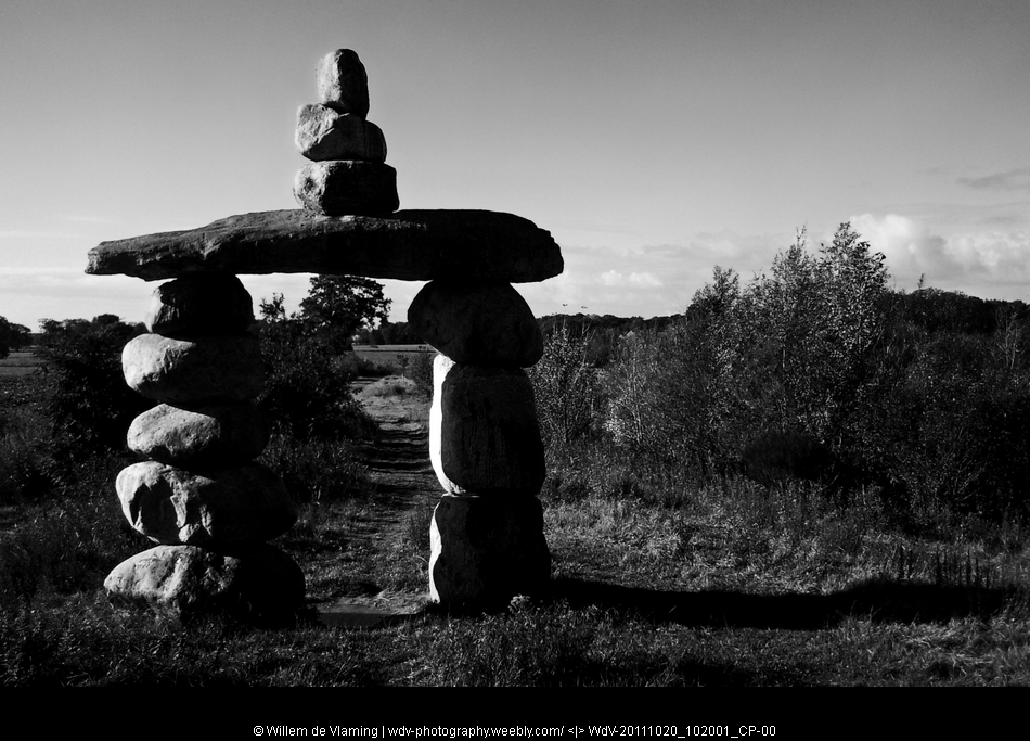
8. Coevorden - Hardenberg October 20, 2011 9km

After parking the car at the station of Hardenberg we took the train back toe Coevorden for the final stage of this three day hike. A girl in the train was fully absorbed in the music from het MP3 player and her phone.Along the 'Gate of Drenthe" a meager imitation of stonehenge, into an old cafe / brewery for lunch onward to Hardenberg. The end of this short holiday.
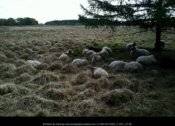
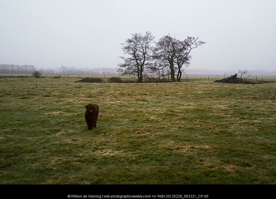
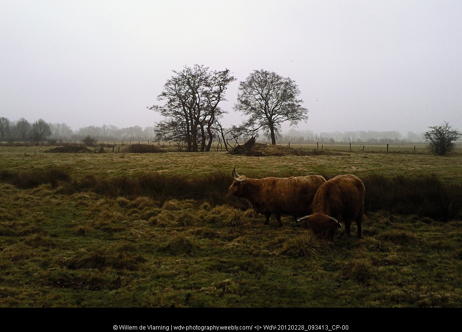
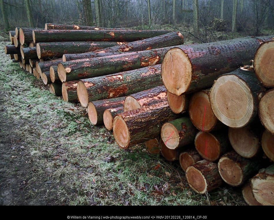
9 Hardenberg - Ommen feb 28 2012 - 21km
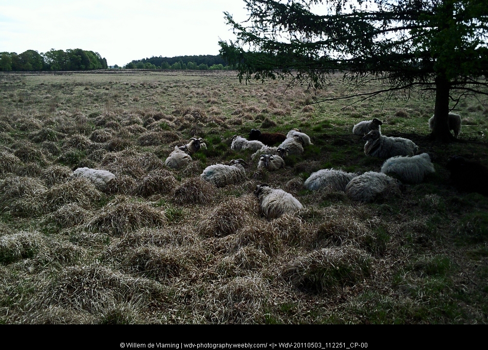
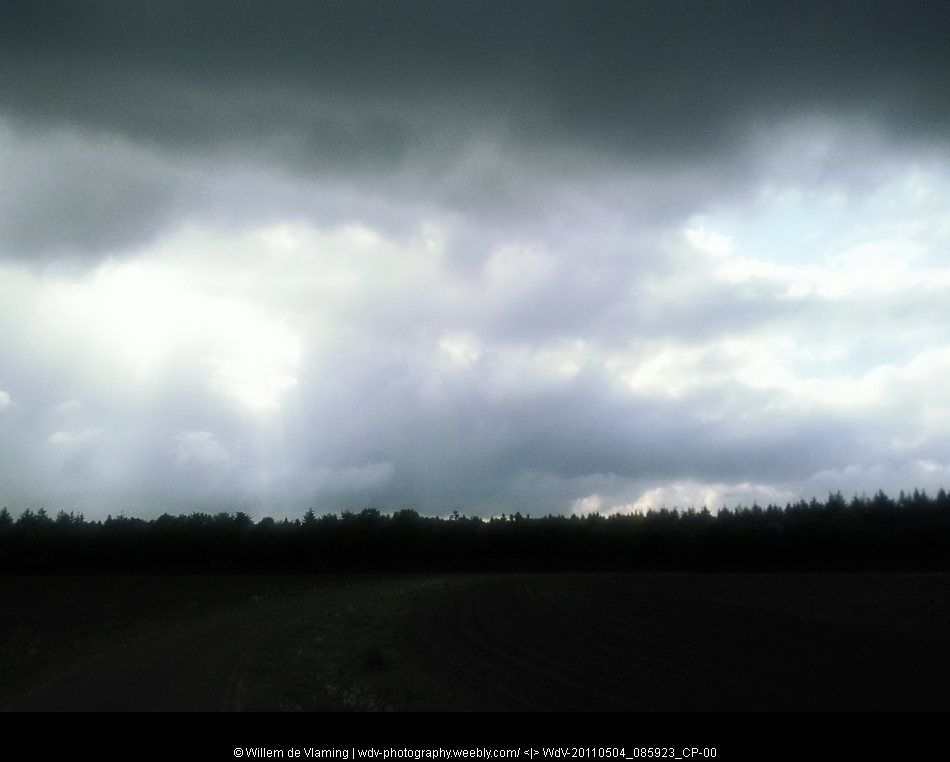
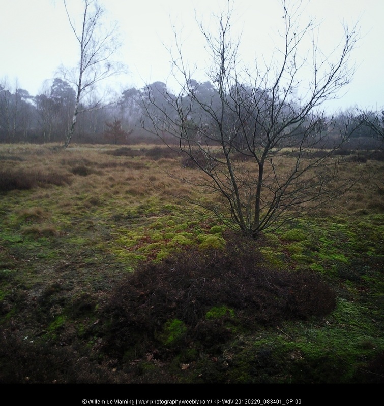
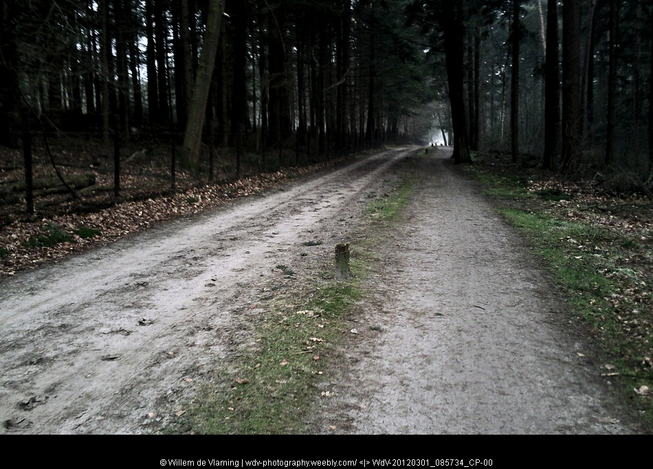
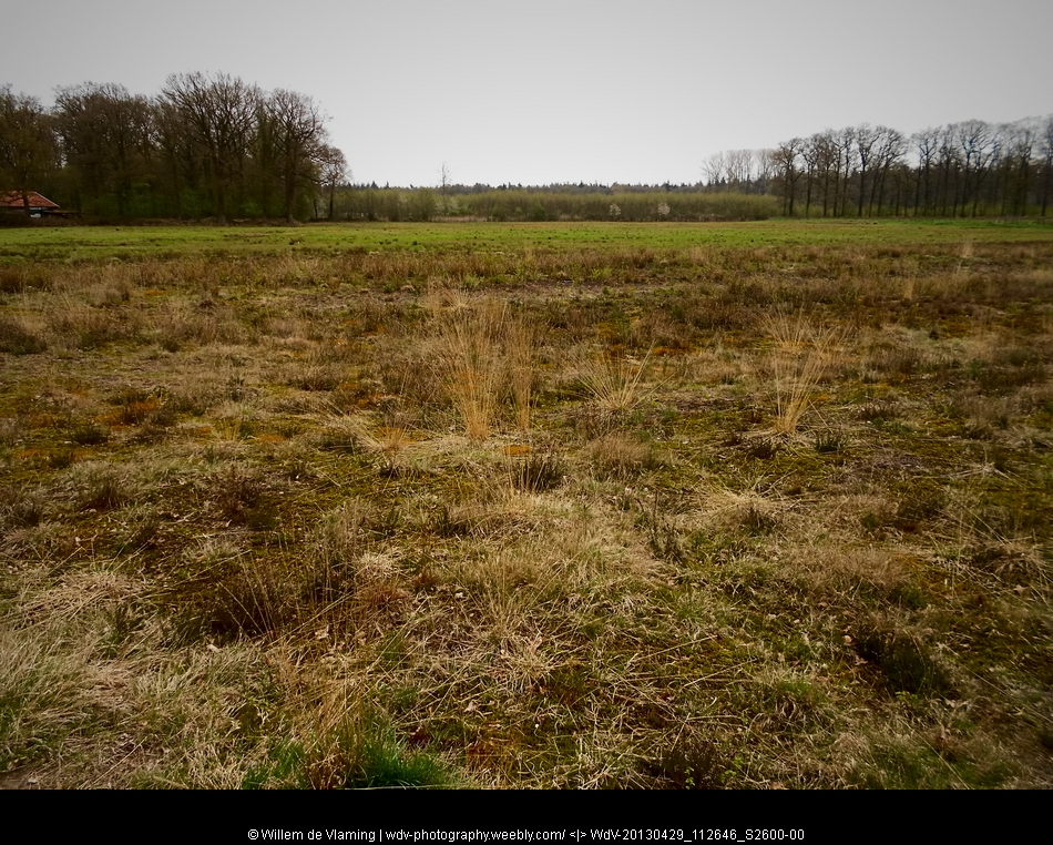
February 27 we went to Ommen with a B&B as 'base camp' for three stages of Pieterpad. Starting the hike on february 28. With the temperature hovering around 10 degrees Celsius was quite mild for the time of year. But the sun had also taken an short vacation.The sky remained grey during the three day we went off the beaten track.Three days walking through a light mist. Too cold for pick nicking, but very good for walking.
Along a half open river country side, with smaller woodlands and open pastures. A couple of Scottish highland cows and calves grazing in the moist morning. Apparantly this was also the time for harvesting the woods. Quite a lot of forresting activities going on.
This stage started in Hardenberg and enden in Ommen

10 Ommen - Hellendoorn: february 29 2012 - 21km

The stage from Ommen to Hellendoorn led along a small WWII memorial, adopted by a local primary school. With the ribbons of mai 4th 2011 still draped on the wooden cross.
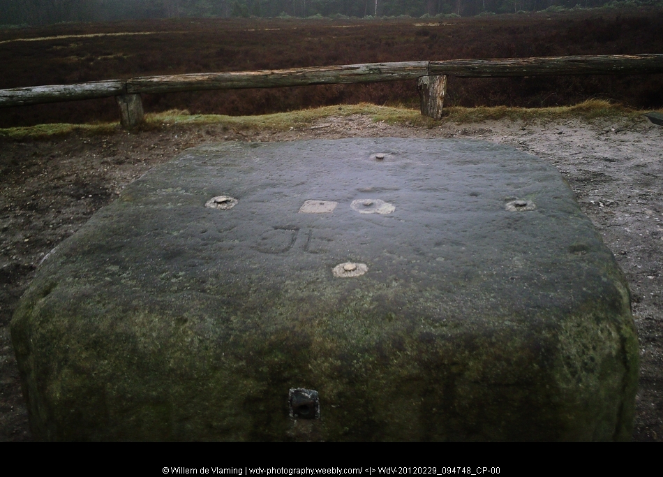
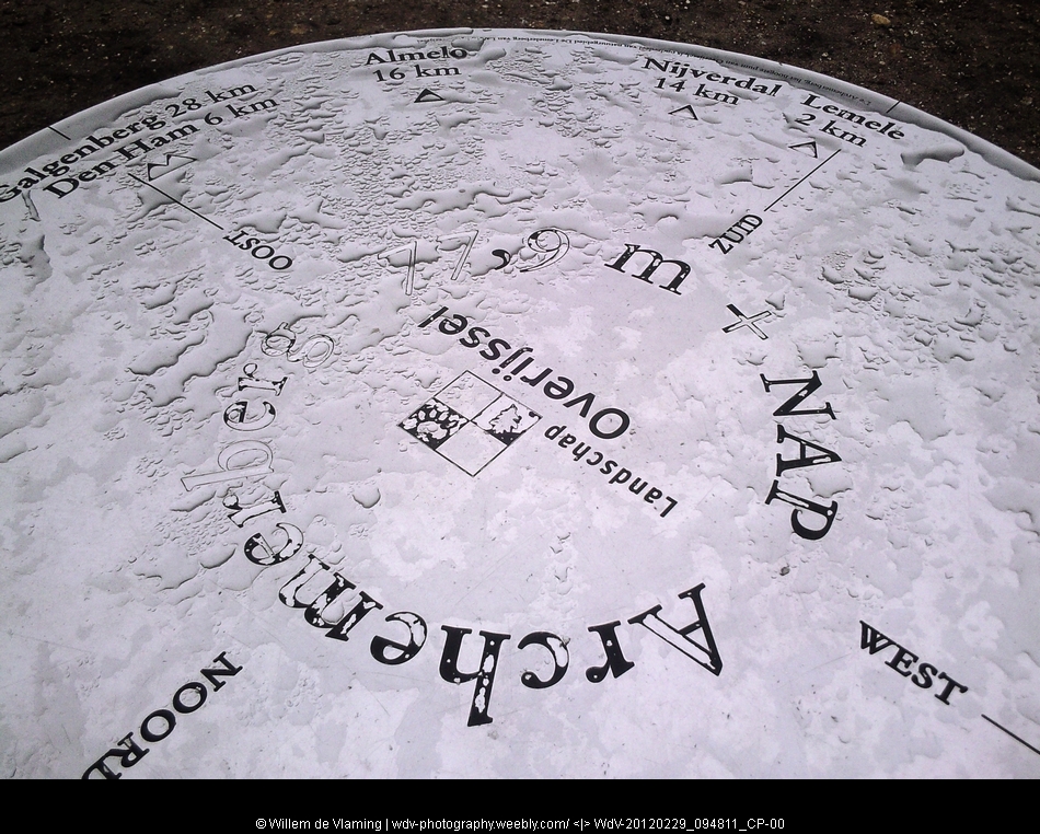
The hike of this day led over the mountain top of "Archemerberg" with 77,9 meter altitude the highest 'peak' of this stage of the hike. On the top of this mountain was also a big base for one of the main triangulation points in the Netherlands.
With markers and slots to fit a theodolite.
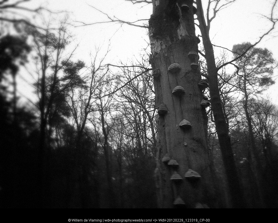
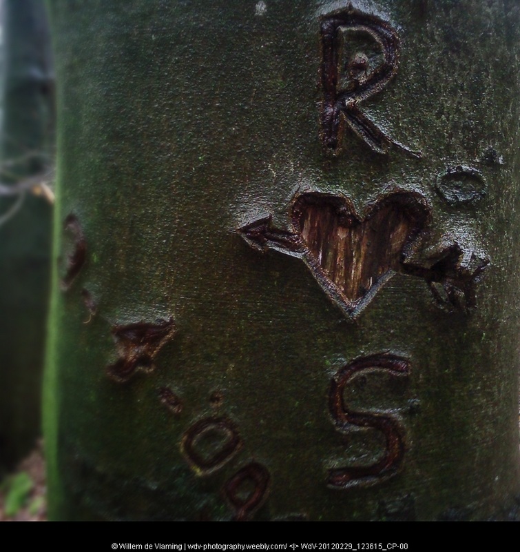
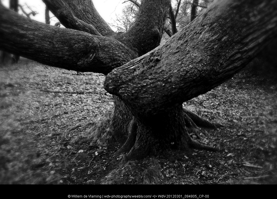
Through the forest signs of decay and (possibly) ever lasting love and commitment.
.
The hike of this day led over the mountain top of "Archemerberg" with 77,9 meter altitude the highest 'peak' of this stage of the hike. On the top of this mountain was also a big base for one of the main triangulation points in the Netherlands.
With markers and slots to fit a theodolite.
Through the forest signs of decay and (possibly) ever lasting love and commitment.
.
11 Hellendoorn - Holten mrt 01 2012 - 16km
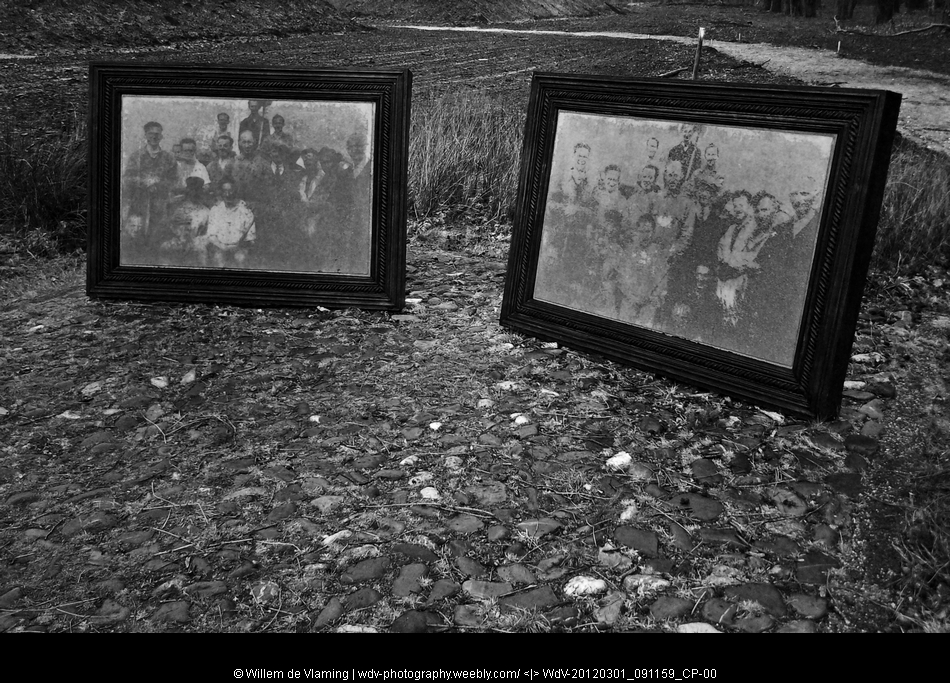
After the major transit camp for deportation at Westerbork, this time a surprise enounter with a much smaller site. "Camp Twilhaar"
Started as a camp for unemployed, turned into a camp for slave labour (Jews). And after the deportation of the Jewish slave labourers via Westerbork to Auschwitz, turned into a 'rehousing' project for people evicted from there houses on the coast to make place for the building of the atlantic wall.
A lot of history in a rather unsuspicious place in the forest.
I really like this memorial with the two big photoframes and fading images.

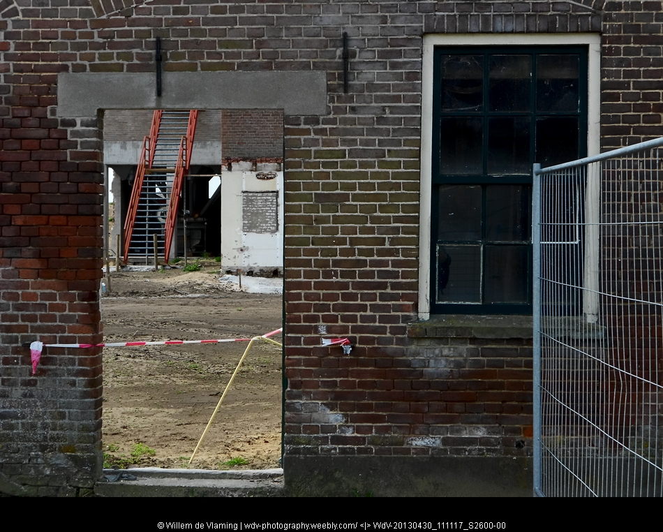
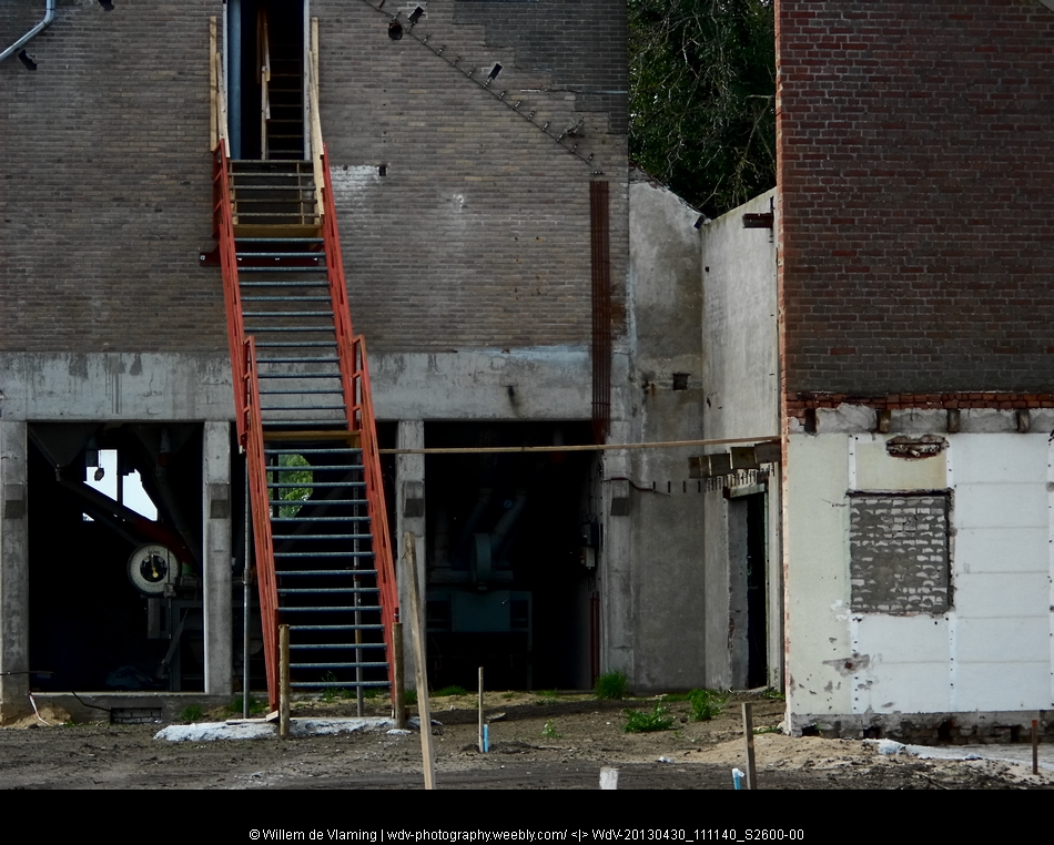
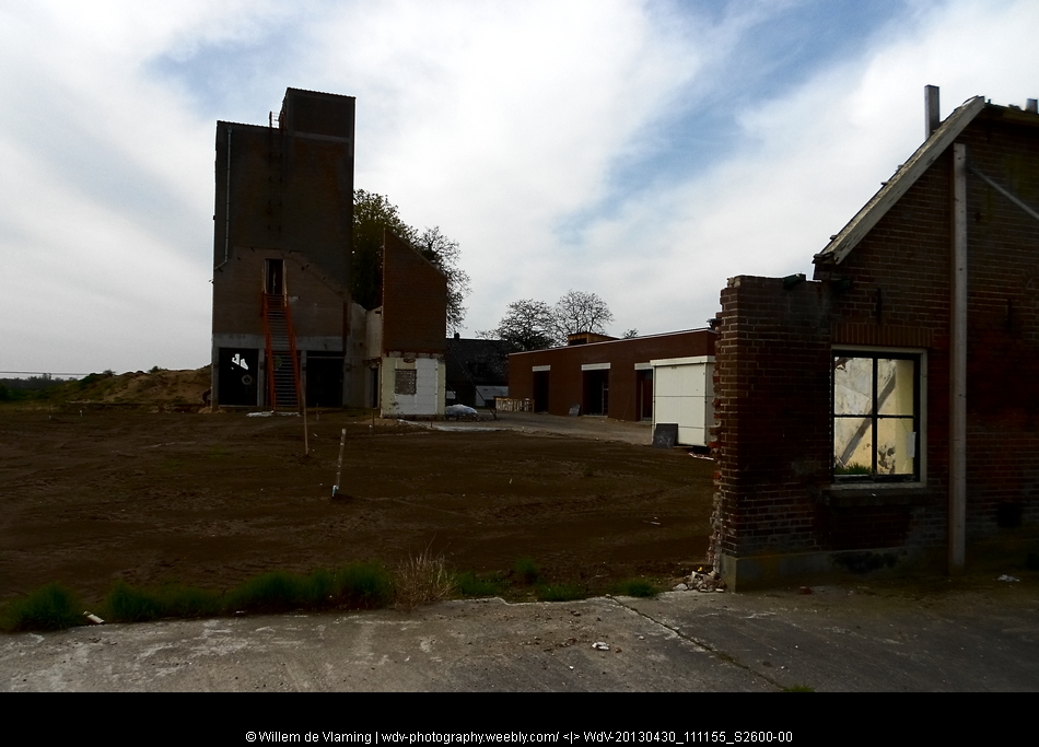
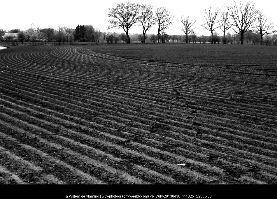
12 Holten - Laren 23 oct 2012 15km
The cellphone has crashed, so now continuing with a Nikon S2600 point and shoot
13 Laren - Vorden 25 oct 2012 14km.
Hier klikken om te bewerken.

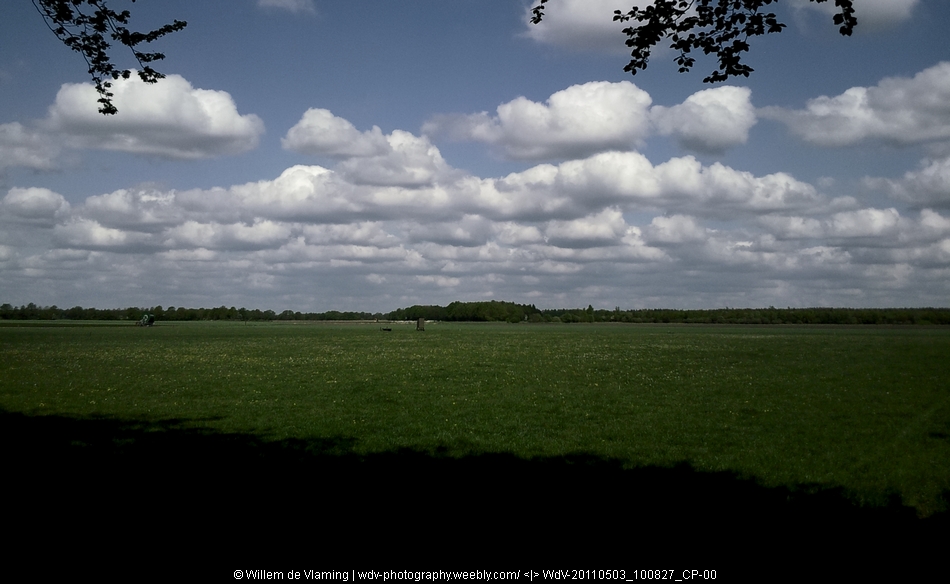
14 Vorden - Zelhem 29 april 2013 16 km

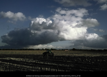
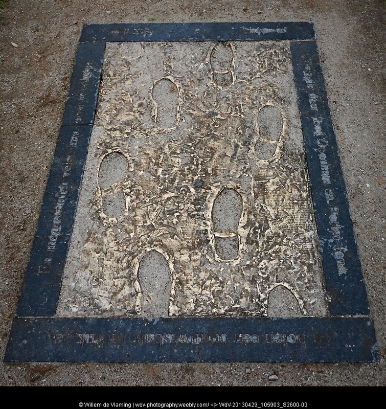
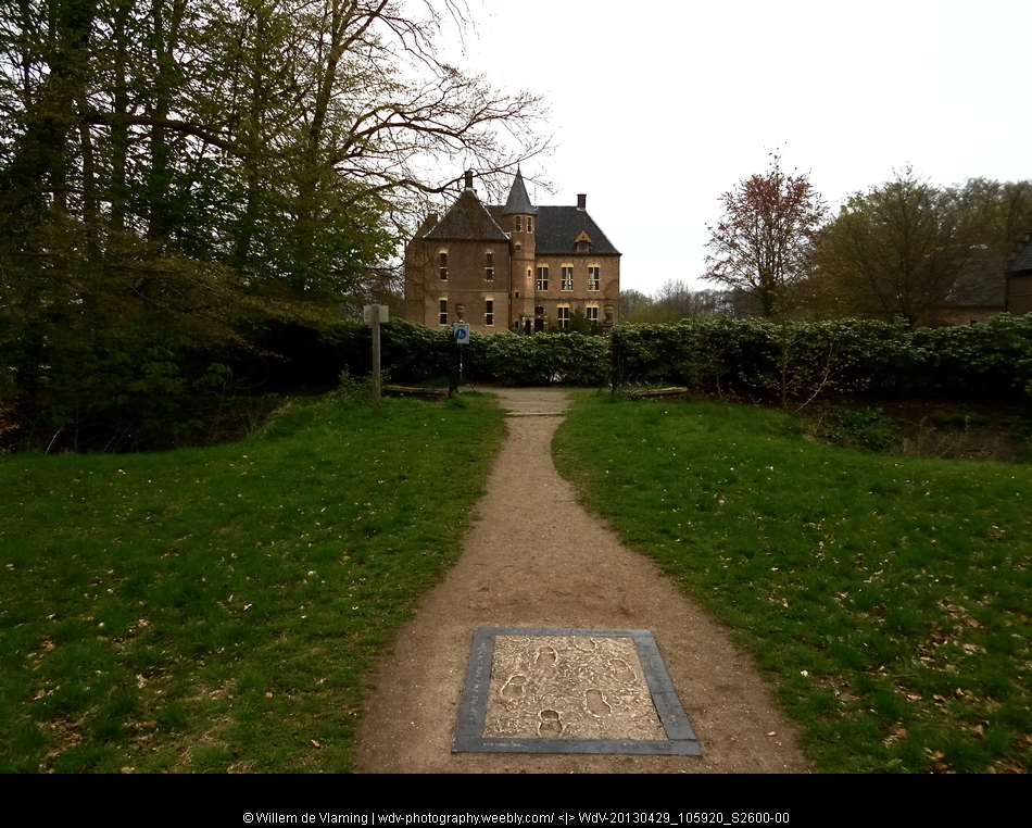
A cloudy day with a slight drizzle every now and then. Starting the second half of the Pieterpad in the Dutch May holiday. A lovely region for hiking, open woodlands. We drove to Zelhem and took public transport to get to the start of the stage in Vorden. Near castle Vorden there is a plaquette in the pavement in honor of the two ladies who 'designed' the Pieterpad, Bertje Jens and Toos Goorhuis-Tjalsma.
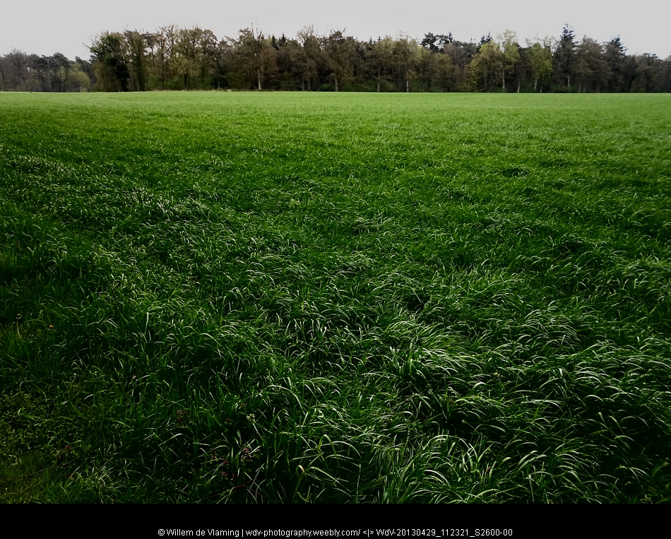
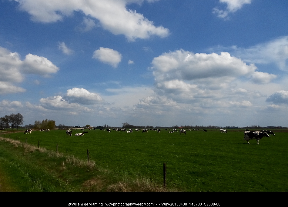
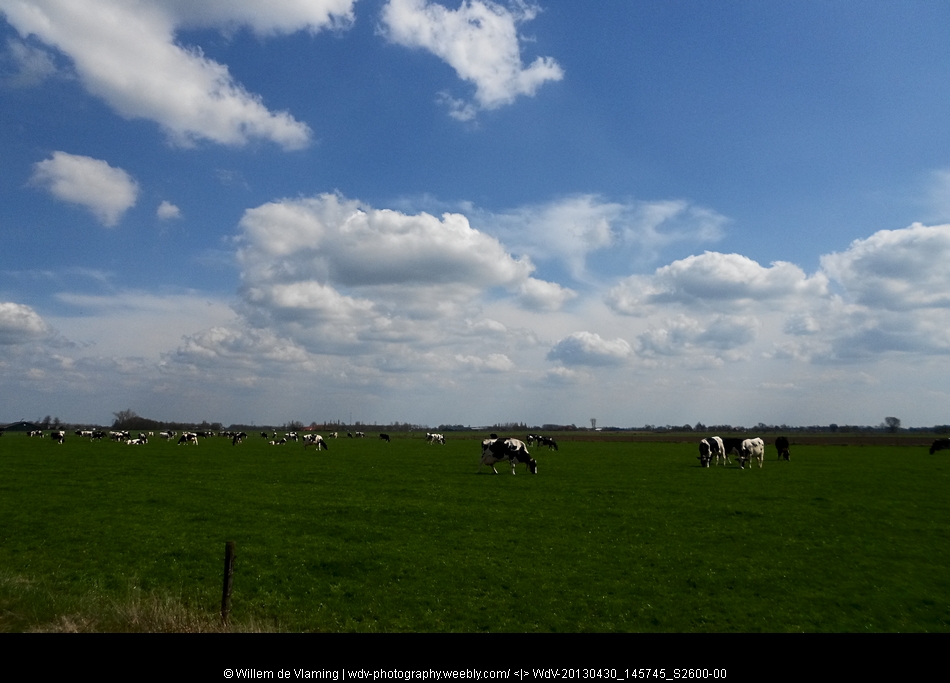
Spring was late this year, but the rise in temperature and the coming of rain has bestowed pastures and woodlands with beautiful fresh green colours
Spring was late this year, but the rise in temperature and the coming of rain has bestowed pastures and woodlands with beautiful fresh green colours
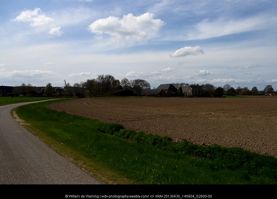
15 Zelhem - Braamt 30 April 2013 18 km

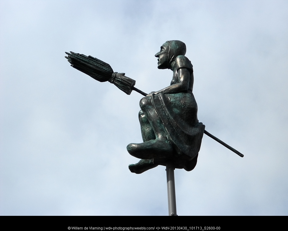
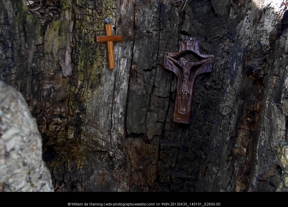
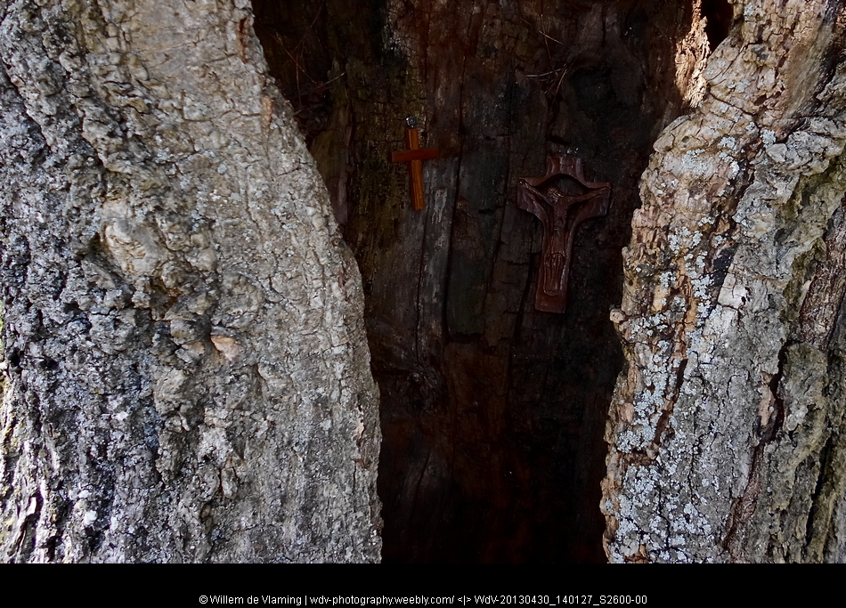
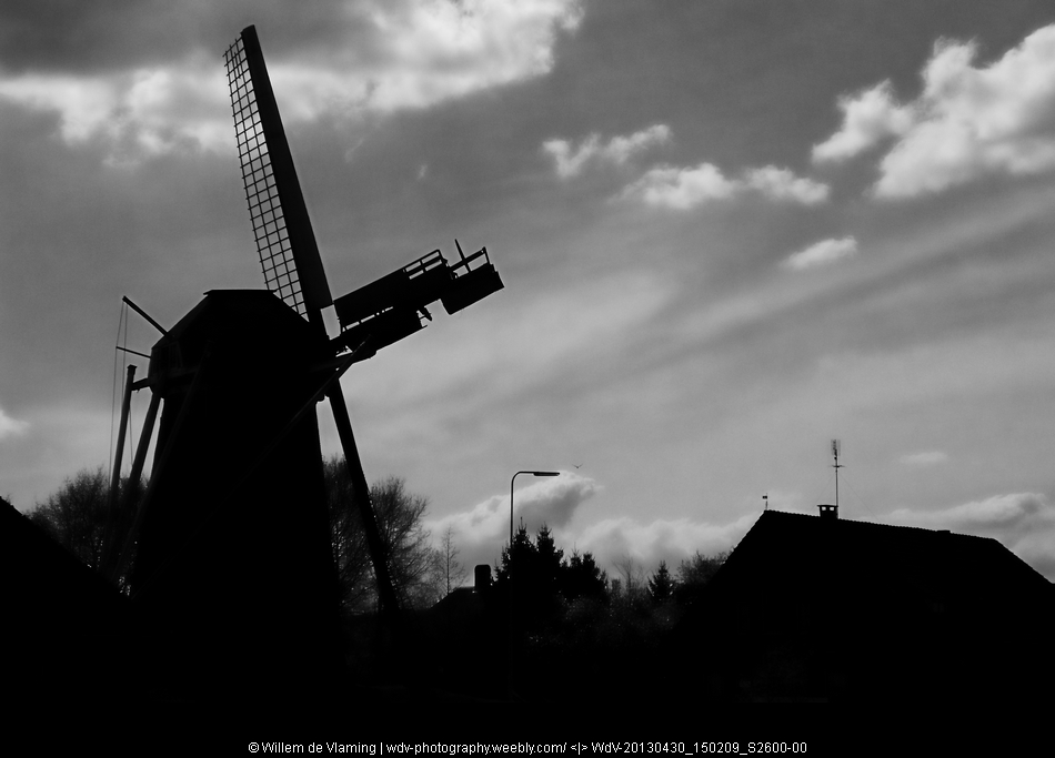
At Zelhem there is a relative new statue that refers to the fictitious witch Smoks Hanne. Along the track we passed the old grain mill at Heidenhoek, Castle Slangenburg and a small chapel inside a tree. Lovely weather hiking along pastures to Braamt with it's shabby windmill


16a Braamt - 't Peeske 1 May 2013 ca 6 km
Hit with gastroenteritis hiking was difficult. Quit after 6 km and took the bus at 't Peeske


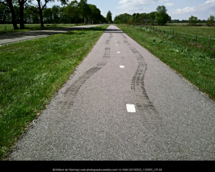
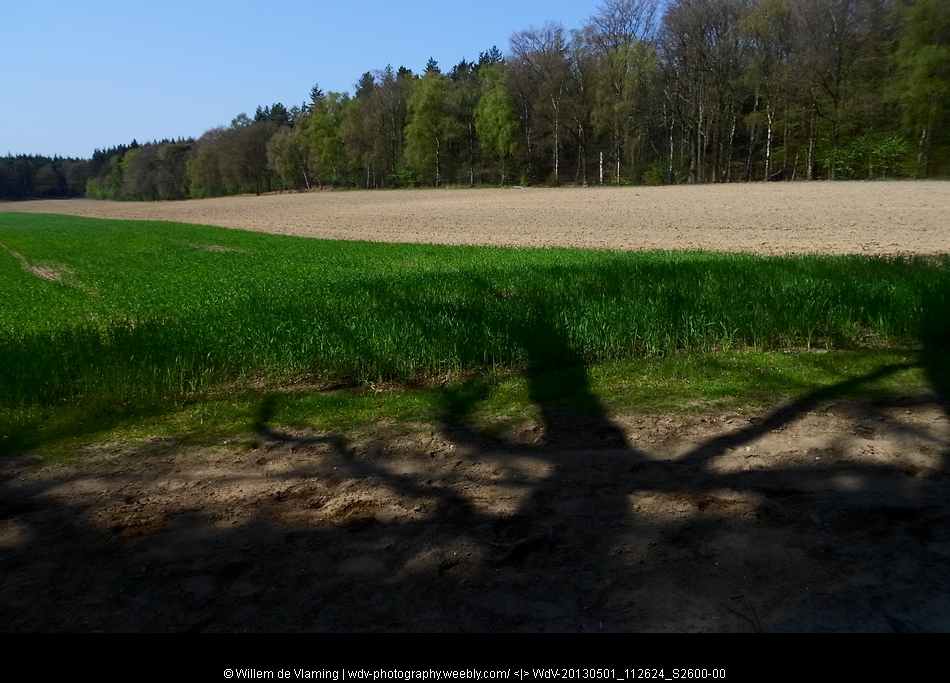
16b 't Peeske - Millingen a/d Rijn 22 july 2014 24km
|
Picking up the road again with a new cell phone.
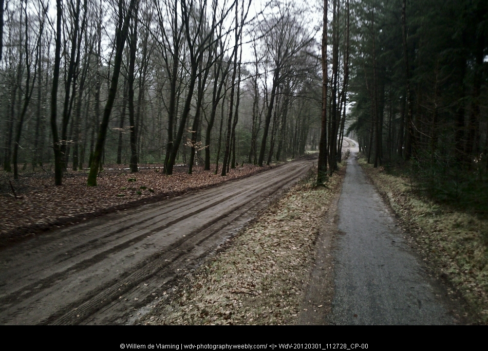
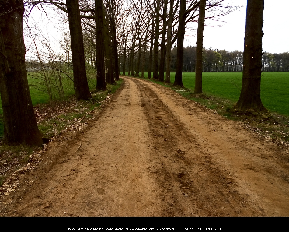
A long stretch with quite a bit of long straight hard surface tracks. Not the most inspiring part of the road as far as I am concerned. |
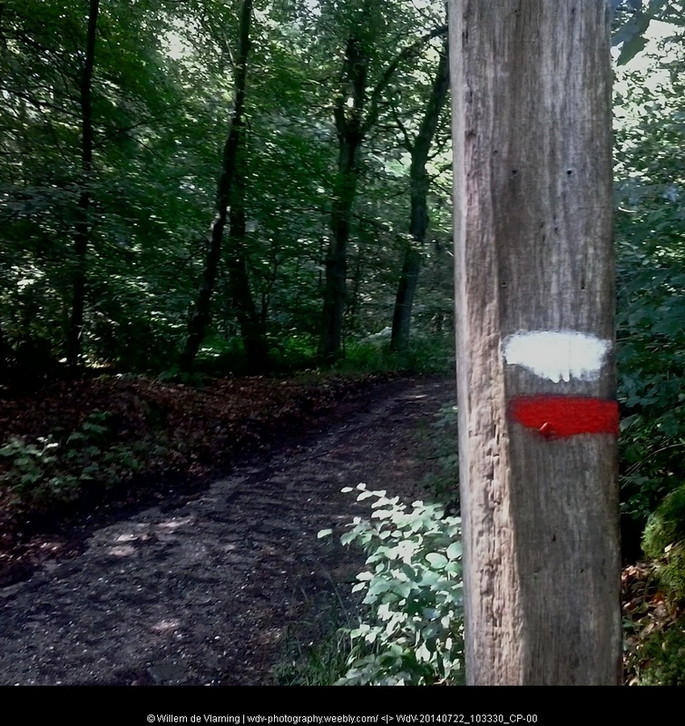     |
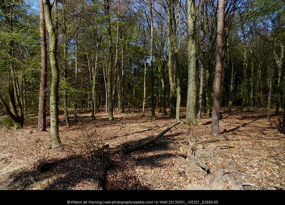
17 Millingen - Groesbeek 23 july 2014 20km
A short stretch of nice hilly woodlands near Groesbeek.
A lot of straight roads for the rest of the day
A lot of straight roads for the rest of the day
Stages to go
18 Groesbeek - Gennep 15km
19 Gennep - Vierlingsbeek 17km
20 Vierlingsbeek - Swolgen 21km
21 Swolgen - Venlo 21km
22 Venlo - Swalmen 23km
23 Swalmen - Montfort 22km
24 Montfort - Sittard 24km
25 Sittard -Strabeek (Vlknbrg) 22km
26 Strabeek - St Pietersberg 15km
18 Groesbeek - Gennep 15km
19 Gennep - Vierlingsbeek 17km
20 Vierlingsbeek - Swolgen 21km
21 Swolgen - Venlo 21km
22 Venlo - Swalmen 23km
23 Swalmen - Montfort 22km
24 Montfort - Sittard 24km
25 Sittard -Strabeek (Vlknbrg) 22km
26 Strabeek - St Pietersberg 15km
